Need Help? call us on
+254 723 786161Need Help? call us on
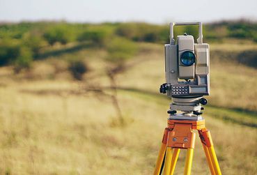
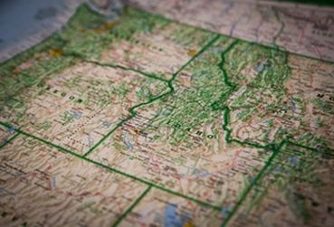
+254 723 786161We are a Constituent college of RCMRD offering Geo-IT technical Diploma and Certificate courses in Land Surveying, Cartography & GIS, Photogrammetry & Remote Sensing and Information Technology to students from over 20 African States.
Our Technical Diploma courses are recognized by local and international universities, professional bodies and employers.
Learn More
I feel so privileged to have been a part of RCTI. My experience there was nothing short of remarkable. The college provided me with all the resources I needed to pursue my studies and build my career, and I am forever grateful for that.

My two years stint at RCTI was nothing short of the best experience in my life. The academic experience coupled with good infrastructure, quality faculties and sessions on placement training, helped me in building a foundation for my career.

RCTI's holistic approach towards the growth of a student helped me be a market ready graduate with a lot of attractive skills for the industry to bank on.